Digital Coast
The Urban Resilience program is proud to work with NOAA’s Digital Coast Partnership to support ULI members accessing of critically important coastal data, tools, and expertise. The Digital Coast Partnership provides a range of publicly available online tools that can be used to inform real estate development and land use policy making, project design, and resilience planning efforts in the USA’s coastal markets.
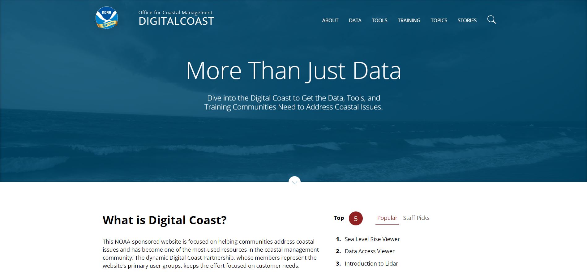
The Digital Coast is a dynamic NOAA sponsored and vetted website featuring free tools to meet the needs of practitioners working in coastal areas. The website provides coastal data, visualization tools and predictive tools, and trainings to better understand a host of coastal related topics like adaptation strategies, coastal and ocean economies, land cover, coastal storms, natural and green infrastructure, risk communication, and more. The Digital Coast resources can help crosswalk how climate risks like hurricanes, stormwater flooding, and sea level rise, have implications on development strategy, zoning regulations, insurance costs, and other related factors.
Visit the Digital Coast website
Since 2014, ULI has represented its membership in the development of and sharing Digital Coast resources and tools. These tools are key resources both for the real estate development and investment industries, and for communities seeking to prepare for increased climate risk.
If you are interested in sharing feedback about current Digital Coast tools, exploring what types of tools you would like to see in the future or sharing a story about how a Digital Coast tool has supported your work, please reach out to us at [email protected].
Select Digital Coast resources:
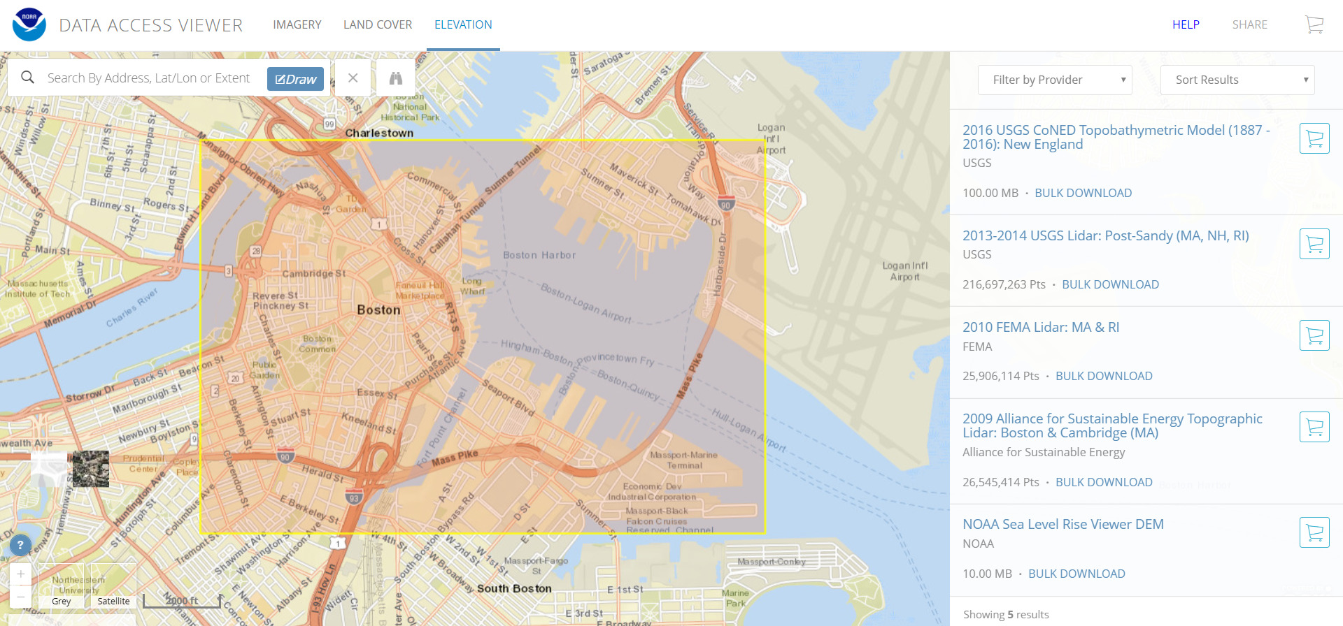
Data Access Viewer – Use this resource to collect, customize, and download data on elevation, imagery, and land cover for a user-selected area in the coastal U.S. and territories.
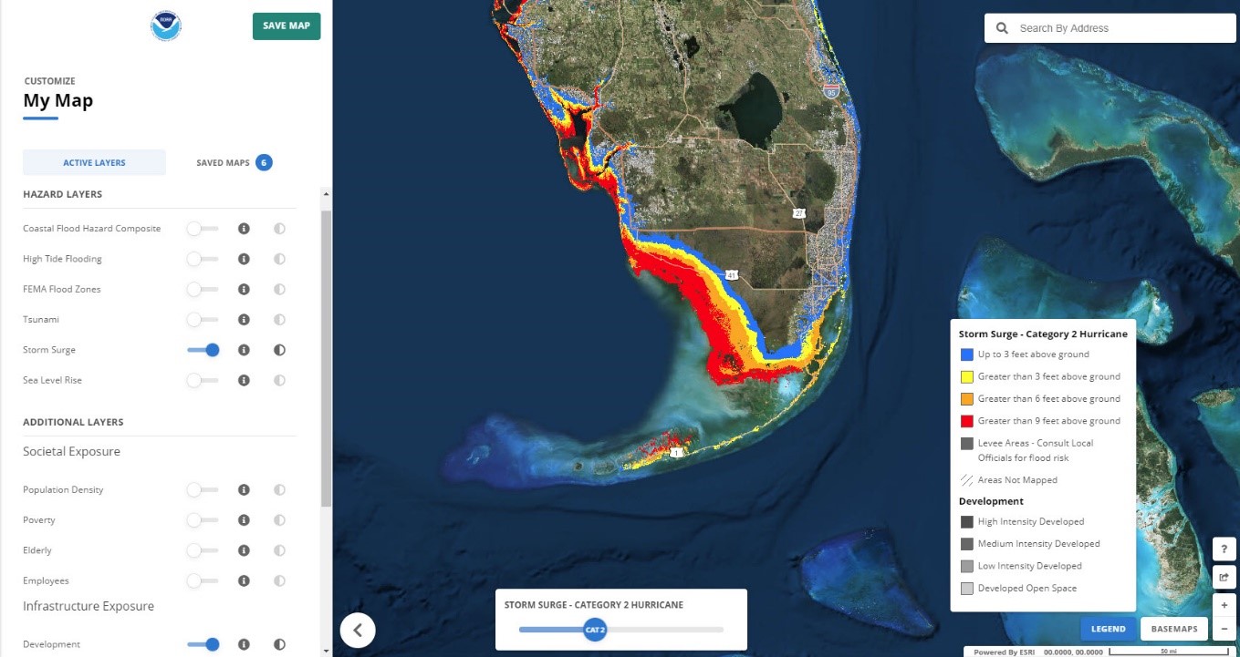
Flood Exposure Mapping – Use this visualization tool to assess coastal hazards (like high tide flooding, storm surge, and sea level rise) of a user-selected location and to communicate how people, places, and natural resources will be exposed to coastal flooding.
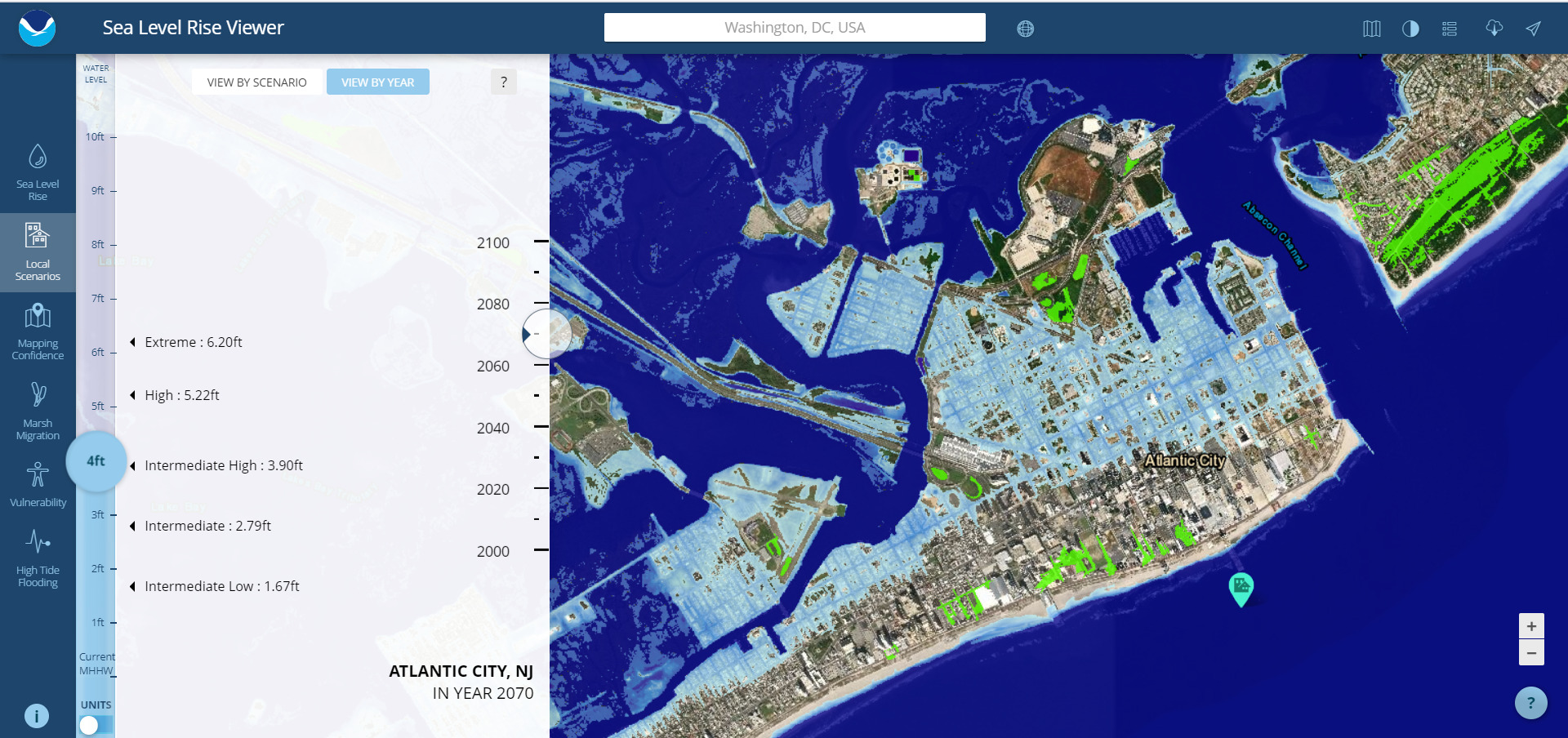
Sea Level Rise Viewer – Use this visualization tool to view potential sea level rise impacts on a geographic location and compare inundation levels relative to sea level rise scenarios. This tool also shows the potential effect of sea level rise and flooding on socio-economic vulnerability in a coastal community.


